Urbanrise The Living Wave Location
Urbanrise The Living Wave Location is at Gattahalli, off Sarjapur Road, in south-east Bengaluru, right next to Adarsh Garden Estate. The 4.20-acre luxury apartment project by Urbanrise puts Sarjapur Road about 5 minutes from your door, the Outer Ring Road about 15 to 20 minutes away and the employment belt of Sarjapur Road and Electronic City within a short drive.
A project location is more than a street address. It covers the roads you drive, the stations you use, and the schools, hospitals and offices within reach of your front door. Here, that means a south-east Bengaluru address with Sarjapur Road as its main corridor and Karmelaram Railway Station 3.93 km away.
The location suits working professionals on Sarjapur Road and in Electronic City. It also suits families who want a school within 1.0 km to 15 minutes, and buyers looking for 3 BHK flats in Gattahalli or 4 BHK apartments in south-east Bengaluru.

Urbanrise The Living Wave Address

The project sits on a single land parcel at Gattahalli, off Sarjapur Road, Bengaluru, Karnataka, India. The site is in south-east Bengaluru, on a stretch of Sarjapur Road that already carries offices, schools and shops.
Adarsh Garden Estate is the landmark immediately next to the project. If you are unsure of the final turn, navigate to Adarsh Garden Estate first and you will find the site beside it.

The 4.20-acre site holds 368 homes in three residential towers and a separate amenity building. You can see how they are arranged on the master plan page.
Location Details of the Project
These are the address details that identify the land and its surroundings:
- Area: Gattahalli
- Village: Gattahalli Village
- Hobli: Sarjapura Hobli
- Taluk: Anekal Taluk
- Land reference: Survey No. 50
- City: Bengaluru
- State: Karnataka
- Country: India
- Landmark: Next to Adarsh Garden Estate, off Sarjapur Road
Keep these details handy when you speak to the project team or a legal adviser. They tie the apartments to one specific parcel of land.
Urbanrise The Living Wave Connectivity

Living at Gattahalli means short access to the main roads, a railway station and two airports. The key links are:
- Sarjapur Road: about 5 minutes from the site.
- Outer Ring Road (ORR): about 15 to 20 minutes away.
- Karmelaram Railway Station: 3.93 km from the project.
- Upcoming Sarjapur Metro Station: about 10 to 15 minutes away. This metro station is upcoming and not yet operational.
- HAL Airport: 9.30 km from the site.
- Kempegowda International Airport: about 45 to 50 minutes by road.
Together these links let you plan a daily commute, a weekend trip and an airport run from one address.
Road Connectivity
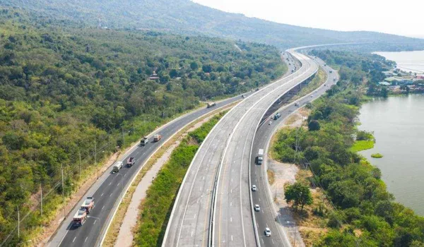
Roads decide how long your day takes. This project is placed on one of south-east Bengaluru's working corridors, with a ring road a short drive beyond it.
- Sarjapur Road: about 5 minutes from the site. It is the main corridor for daily travel to offices, schools and shops.
- Outer Ring Road (ORR): about 15 to 20 minutes away. It links the Sarjapur Road belt to other parts of Bengaluru.
For most daily trips you join Sarjapur Road within minutes. For longer cross-city journeys, the ORR is the next road to use.
Metro Connectivity

The upcoming Sarjapur Metro Station is about 10 to 15 minutes from the site. It is still upcoming and not yet operational.
- Today: plan daily routines around road travel on Sarjapur Road and the ORR.
- Later: the station gives you a second option once it opens, for days when you prefer not to drive.
Treat the metro as a future convenience rather than a present one, and check its progress before you make commute decisions around it.
Rail Connectivity
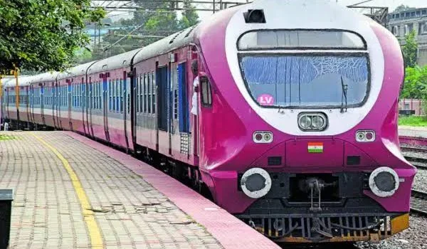
Karmelaram Railway Station is 3.93 km from the project. It is the nearest rail point to the site.
- Distance: 3.93 km from the project.
- Use: a practical drop-off and pick-up point when family or friends travel in by train.
A short drive from the gate, the station makes occasional rail trips simple to plan.
Air Connectivity

Two airports serve the project. HAL Airport is the closer of the two, and Kempegowda International Airport is the main airport for Bengaluru.
- HAL Airport: 9.30 km from the site.
- Kempegowda International Airport: about 45 to 50 minutes by road.
If you catch early or late flights, allow extra time for traffic on the way to Kempegowda International Airport.
Proximity to Employment Hubs
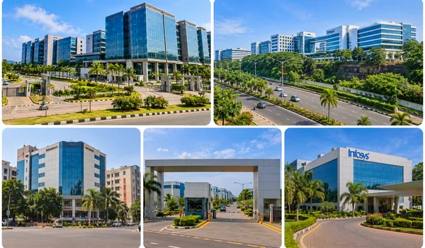
Many buyers look for apartments near Wipro SEZ and flats near RGA Tech Park because the drive to work is short. The hubs within reach of the site are:
- Wipro SEZ, Sarjapur Road – 5.6 km
- RGA Tech Park, Sarjapur Road – 6.6 km
- Infosys campuses – about 10 to 15 minutes
- Electronic City – about 10 to 15 minutes
A shorter commute leaves more of the evening for family time, which is the main reason this corridor appeals to working households.
Schools Near Urbanrise The Living Wave
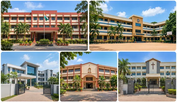
Families with school-going children can choose from schools that are close by or a short drive away.
- ORCHIDS The International School, Rayasandra – 1.0 km
- Harvest International School, Kodathi – 3.7 km
- Inventure Academy – 15 minutes
- TISB – 15 minutes
ORCHIDS The International School is the shortest school run of the four. For the others, plan pick-up and drop-off around the travel time.
Hospitals Near Urbanrise The Living Wave
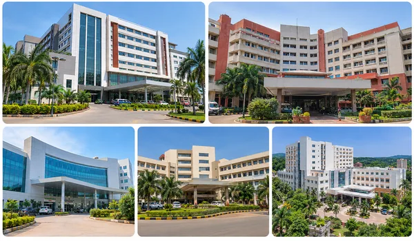
Knowing the nearest hospital, and a second option, is a practical part of choosing a home.
- Manipal Hospital, Sarjapur Road – 8 km
- Narayana Hospital, HSR Layout – 11.5 km
- Columbia Asia – 15 to 20 minutes
Manipal Hospital is on the same corridor as the project's main access road, which keeps the route familiar.
Shopping Centres Near Urbanrise The Living Wave
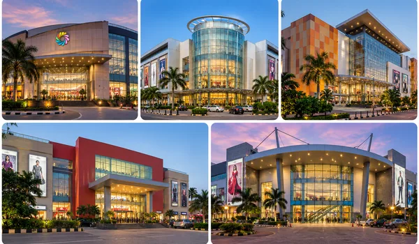
Weekly groceries and weekend outings are both within a short drive.
- DMart Electronic City, Hosur Road – 7.5 km
- Forum Mall – 15 to 20 minutes
- Total Mall – 15 to 20 minutes
DMart covers the household run, while the two malls suit a family outing or a larger shopping trip.
Key Distances from Urbanrise The Living Wave to Main Places
Every distance and travel time for the project in one place:
| Destination | Category | Distance or travel time |
|---|---|---|
| Sarjapur Road | Road | 5 minutes |
| Outer Ring Road (ORR) | Road | 15 to 20 minutes |
| Karmelaram Railway Station | Rail | 3.93 km |
| Upcoming Sarjapur Metro Station | Metro | 10 to 15 minutes |
| HAL Airport | Airport | 9.30 km |
| Kempegowda International Airport | Airport | 45 to 50 minutes |
| Wipro SEZ, Sarjapur Road | Employment | 5.6 km |
| RGA Tech Park, Sarjapur Road | Employment | 6.6 km |
| Infosys campuses | Employment | 10 to 15 minutes |
| Electronic City | Employment | 10 to 15 minutes |
| ORCHIDS The International School, Rayasandra | School | 1.0 km |
| Harvest International School, Kodathi | School | 3.7 km |
| Inventure Academy | School | 15 minutes |
| TISB | School | 15 minutes |
| Manipal Hospital, Sarjapur Road | Hospital | 8 km |
| Narayana Hospital, HSR Layout | Hospital | 11.5 km |
| Columbia Asia | Hospital | 15 to 20 minutes |
| DMart Electronic City, Hosur Road | Shopping | 7.5 km |
| Forum Mall | Shopping | 15 to 20 minutes |
| Total Mall | Shopping | 15 to 20 minutes |
Commute Scenarios from the Site
Wipro SEZ on Sarjapur Road is 5.6 km from the project and RGA Tech Park on Sarjapur Road is 6.6 km away. Sarjapur Road is about 5 minutes from the site, so a professional working at either campus joins one corridor and stays on it for the whole drive.
The Infosys campuses and Electronic City are each about 10 to 15 minutes from the site. That suits a household where one partner works on Sarjapur Road and the other in Electronic City, because both can leave from the same gate and reach their offices in a similar time.
For offices elsewhere along the Outer Ring Road, the ORR is about 15 to 20 minutes from the site, and the distance along the ring road to your workplace comes on top of that. The upcoming Sarjapur Metro Station is about 10 to 15 minutes away but not yet operational, so plan around road travel today.
Family Routine: Schools and Healthcare
School Runs
ORCHIDS The International School, Rayasandra is 1.0 km from the site. Harvest International School, Kodathi is 3.7 km away. Inventure Academy and TISB are each about 15 minutes from the site, so families considering them can plan pick-up and drop-off timings around that travel time.
Hospitals and Clinics
Manipal Hospital on Sarjapur Road is 8 km from the site. Narayana Hospital in HSR Layout is 11.5 km away, and Columbia Asia is 15 to 20 minutes away. For households with young children or senior family members, this gives you a first choice and a backup.
Weekends, Shopping and Travel
DMart Electronic City on Hosur Road is 7.5 km from the project and covers the weekly grocery and household run. Forum Mall and Total Mall are each 15 to 20 minutes away for a family outing.
For longer journeys, Karmelaram Railway Station is 3.93 km from the site. HAL Airport is 9.30 km away, and Kempegowda International Airport is about 45 to 50 minutes by road.
What Off Sarjapur Road, Next to Adarsh Garden Estate Means
"Off Sarjapur Road" means the project is reached from the main road rather than standing on it. Sarjapur Road is about 5 minutes from the site, and it connects the project to offices, schools and shops along the corridor.
"Next to Adarsh Garden Estate" gives you a fixed landmark. A first-time visitor can navigate to the estate and find the project beside it. To arrange a visit, use the enquiry form on the contact page.
Village, Hobli, Taluk and Survey Number Explained
The land is recorded under Gattahalli Village, Sarjapura Hobli, Anekal Taluk, Survey No. 50. In Karnataka's revenue system, the village is the basic unit, a hobli groups several villages, and a taluk groups several hoblis. The survey number identifies one specific land parcel within the village.
A buyer or a legal adviser uses these four details to match a property with its land records. Once the project's RERA registration is issued, the same village, taluk and survey details can be compared with the registration entry. RERA registration for the project is awaited, so there is no registration number to match yet.
Why the Location Works
- Short drive to work: Wipro SEZ is 5.6 km away, RGA Tech Park is 6.6 km away, and the Infosys campuses and Electronic City are each about 10 to 15 minutes from the site.
- Schools within reach: ORCHIDS The International School is 1.0 km away, and Inventure Academy and TISB are about 15 minutes away.
- Healthcare on the same corridor: Manipal Hospital on Sarjapur Road is 8 km away.
- Rail and road access: Karmelaram Railway Station is 3.93 km away, Sarjapur Road about 5 minutes and the ORR 15 to 20 minutes.
- Future metro access: The upcoming Sarjapur Metro Station is planned about 10 to 15 minutes from the site.
- Two airports: HAL Airport is 9.30 km away, with Kempegowda International Airport about 45 to 50 minutes away.
These are the reasons a gated community off Sarjapur Road works for daily living, not only for a weekend visit.
Location Summary
The project has 368 homes on 4.20 acres at Gattahalli, with Sarjapur Road about 5 minutes away, Karmelaram Railway Station 3.93 km away and offices, schools, hospitals and malls within a short drive. It is in its pre-launch stage, with pre-launch opening on 10 November 2026 and the launch planned for December 2026.
To compare homes, see the floor plans and the price page, or browse the amenities on site.
Frequently Asked Questions
1. Where is Urbanrise The Living Wave located?
The project is at Gattahalli, off Sarjapur Road, Bengaluru, Karnataka, next to Adarsh Garden Estate. It is in south-east Bengaluru.
2. What are the village, hobli, taluk and survey number of the land?
The land is under Gattahalli Village, Sarjapura Hobli, Anekal Taluk, Survey No. 50. The village is the basic revenue unit, a hobli groups villages, a taluk groups hoblis, and the survey number identifies the specific land parcel.
3. Which roads connect the site to the rest of Bengaluru?
Sarjapur Road is about 5 minutes from the site. The Outer Ring Road (ORR) is about 15 to 20 minutes away.
4. Is there a metro station near the project?
The upcoming Sarjapur Metro Station is about 10 to 15 minutes from the site. It is a planned station and not yet operational.
5. How far is the nearest railway station?
Karmelaram Railway Station is 3.93 km from the project. It is the nearest rail point to the site.
6. How far are the airports from the project?
HAL Airport is 9.30 km from the site. Kempegowda International Airport is about 45 to 50 minutes away by road.
7. Which employment hubs are close to the site?
Wipro SEZ on Sarjapur Road is 5.6 km away and RGA Tech Park on Sarjapur Road is 6.6 km away. The Infosys campuses and Electronic City are each about 10 to 15 minutes from the site.
8. Which schools are near the project?
ORCHIDS The International School, Rayasandra is 1.0 km away and Harvest International School, Kodathi is 3.7 km away. Inventure Academy and TISB are each about 15 minutes from the site.
9. Which hospitals are near the project?
Manipal Hospital on Sarjapur Road is 8 km from the site. Narayana Hospital in HSR Layout is 11.5 km away, and Columbia Asia is 15 to 20 minutes away.
10. Where can I shop for groceries and visit malls from the project?
DMart Electronic City on Hosur Road is 7.5 km from the site. Forum Mall and Total Mall are each 15 to 20 minutes away.